Hyderabad: Informal settlements, industrial clusters and areas near landfills are among the most vulnerable to extreme heat in Hyderabad, while neighbourhoods with greater greenery and water bodies remain significantly cooler, participants at an Urban Heat Data Jam in the city found.
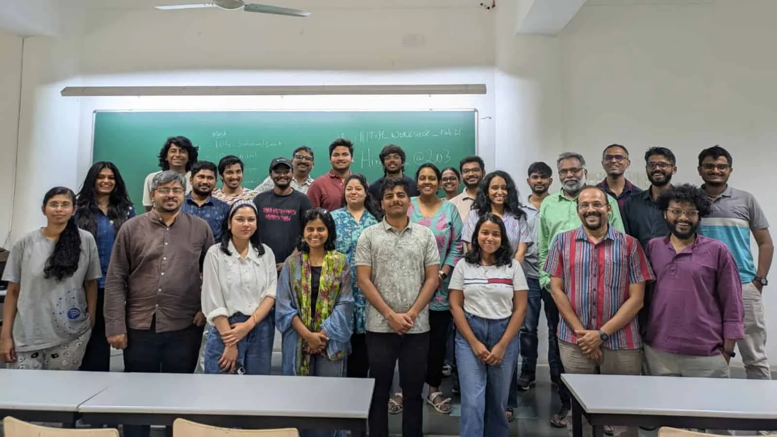
The exercise, organised by OpenCity.in — a civic-tech programme of the Oorvani Foundation — in collaboration with Uncharted Science, IIIT-Hyderabad, Climate Front Telangana, Telangana Gig and Platform Workers Union (TGPWU), and the Hyderabad Tiger Conservation Society, brought together 26 participants, including GIS experts, students, engineers and civic activists.
Using publicly available data on heat, environmental indicators such as particulate matter, satellite imagery and Census 2011 data, participants examined how urbanisation is shaping heat exposure and vulnerability across the city.
Ward-level analysis
Five teams studied different areas — Hitec City (Ward 104), Uppal (Ward 10), Borabanda (Ward 103), Gachibowli (Ward 106) and Jawaharnagar — analysing the urban landscape, vegetation cover and built-up areas.
In Hitec City, summer temperatures were found to reach the high 40s, touching nearly 50°C in 2016–17 and again in 2024. Participants also observed rising night-time temperatures, although daytime temperatures may be slightly moderated by aerosols from construction and road dust.
Uppal has seen a steady rise in land surface temperatures over the past decade, largely linked to declining vegetation and expanding built-up areas, with industrial zones emerging as heat hotspots.
In Borabanda, where nearly 70% of the ward comprises slums, residents face severe heat with temperatures in the high 40s and limited access to parks, shade and open spaces.
Gachibowli was found to have several roads without tree cover, with surface temperatures reaching up to 45°C, posing risks not only to pedestrians but also to animals such as street dogs.
The Jawaharnagar team noted steadily rising temperatures around the landfill, with the nearby incinerator plant and expanding residential areas contributing to the heat.
Social vulnerability and solutions
Participants also correlated satellite heat data with social indicators such as roof materials, employment patterns and the proportion of Scheduled Caste and Scheduled Tribe populations.
They found that densely built areas experienced higher temperatures, while areas near green spaces and water bodies, such as Durgam Cheruvu and Hussain Sagar, were cooler.
Among the solutions proposed were increasing tree cover along pedestrian pathways, vertical gardens, incentivising green architecture and creating ventilation corridors.